Tech

The Capacity Hub


DESCRIPTION

#DigitallySpeaking

Geospatial technologies are systems that acquire and handle location-specific data about Earth. Remote sensing, the global positioning system (GPS), and geographic information systems (GIS) are important geospatial technologies. Remote sensing and the GPS are methods for collecting information about Earth's surface; GIS ia a mapping tool for organizing and analyzing information.
At the Geospatial Technologies & Mobile Applications Event, you'll be learning more about the Implementations of GIS, RS, GPS, Mobile Development and the Importance of Mobile Applications.
Register for free @
https://bit.ly/TCH-GIS


Your name
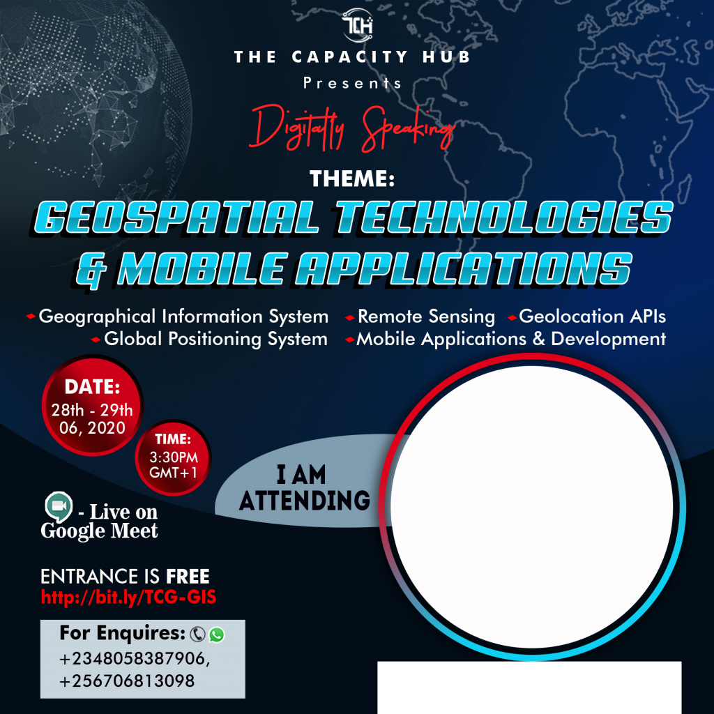
Not sure how to create your personalized DP
To create your personalized DP

1. Tap the avatar to upload your photo (Square photos are recommended to avoid clipping)

2. Enter your name in the text field

3. Once image is uploaded and you are satisfied with the preview, click "Generate my DP"


Comments